
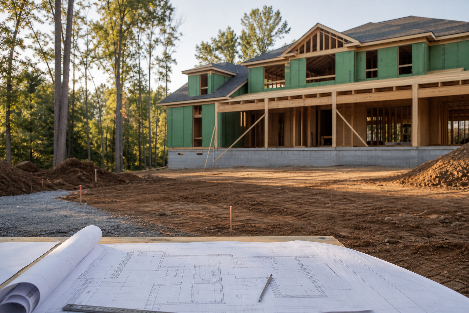
Verified setbacks should be treated as fixed design inputs from the first sketch, not as boundary lines that get drawn after the house shape is already decided. The practical way to do this is to build a buildable-area overlay early in programming, a simple site diagram that shows the setback-constrained building envelope together with existing access points, utility locations, drainage patterns, planned outdoor use areas, and an honest notation of what is still unverified. When that overlay exists before floor plans are sketched, the design team is working inside real constraints instead of discovering conflicts after concepts are already emotionally and financially invested.
This article summarizes publicly posted information from York County, South Carolina and the City of Charlotte on zoning and individual residential lot review, and it adds general planning practices that Cooper Development Group uses when helping owners think through early site programming. It is not a substitute for a project-specific zoning determination, a survey, or a review by the authority having jurisdiction. Setback requirements, lot classifications, and review procedures can change, and they can also vary by zoning district, overlay district, and specific lot conditions. Any owner moving toward a concept plan should confirm current requirements directly with York County or the applicable city or county planning department before finalizing a design.
Direct answer and evidence boundary
Owners often treat setback lines as a formality, a set of numbers to check once and then forget while the design team focuses on the house itself. In practice, setbacks define the usable footprint of a lot, and they interact with access, utilities, drainage, and outdoor space in ways that are easier to resolve on paper than in the field. Carrying verified setbacks into early site programming means translating them into a buildable-area overlay that the whole project team can reference throughout design, not a line item buried in a survey.
The most useful version of this overlay is a single diagram, drawn to scale, that layers the setback-constrained building envelope over existing conditions. It should show where vehicles and people currently enter the property, where water, sewer, and other utility connections exist or are proposed, how stormwater currently moves across the lot, where outdoor living space is intended, and which of these elements are confirmed versus still pending verification. This is a working planning tool, and it should be updated as facts are confirmed rather than treated as a one-time exercise.
What current public sources establish
York County, South Carolina publishes zoning information that outlines district classifications and general development standards for properties within the county, and that information is the correct starting point for any property located within unincorporated York County or a jurisdiction that follows county zoning. The City of Charlotte separately publishes a process for individual residential lot reviews, which addresses how single lot projects are evaluated against applicable development standards inside the city. Both sources confirm that setback and lot development requirements are tied to the specific zoning district and jurisdiction that applies to a given parcel, not to a single countywide or citywide number that applies everywhere.
Because these public sources are maintained by the jurisdictions themselves, they are the correct reference point for confirming which zoning district applies to a property, what setback and lot standards attach to that district, and what review process is required before a concept plan can move toward a permit application. Any planning narrative, including this one, should be treated as a general orientation to that process rather than a restatement of every current requirement, since those requirements are subject to change and vary by district and overlay.
Inputs and existing conditions to document
Before setbacks can be turned into a useful design input, the project team needs a clear picture of what already exists on and around the lot. This means gathering survey information, existing utility records, and any available drainage or topographic data, then confirming how that information lines up with the zoning district and setback standards that apply to the property. Skipping this step tends to produce a buildable-area overlay that looks accurate on paper but does not reflect real conditions once fieldwork begins.
A useful documentation pass typically includes property lines and recorded easements, existing structures and their distances from boundary lines, driveway and access locations, visible or recorded utility routes, and general drainage direction across the lot. Where any of this information is uncertain, the overlay should note that uncertainty rather than guessing, since an unverified assumption early in programming tends to resurface later as a costly redesign.
Documenting existing conditions also surfaces conflicts early. A driveway that currently crosses through what would become a required setback area, or a utility line that runs directly through the most logical building footprint, is far easier to address in a planning conversation than after a design has been developed around an incorrect assumption.
- Confirm recorded property lines and any easements shown on the current survey.
- Note the location and approximate distance of existing structures from each boundary line.
- Record existing driveway, walkway, and other access points before assuming they can remain unchanged.
- Identify visible or recorded utility locations, including water, sewer, and stormwater infrastructure.
- Observe and note general drainage direction and any low areas or existing stormwater features.
Step-by-step owner and project-team review
A practical review sequence starts with confirming the zoning district and applicable setback standards directly with the authority having jurisdiction, whether that is York County or a municipal planning department such as the City of Charlotte. Once that confirmation is in hand, the project team can translate the setback distances into a scaled buildable-area boundary on the actual survey, rather than working from a rough sketch or an assumption carried over from a similar property.
From there, the overlay should be layered with the existing conditions gathered earlier, including access, utilities, and drainage, so that the buildable area is evaluated in context rather than in isolation. Outdoor use areas, such as patios, decks, or yard space the owner intends to preserve, should be marked on the same diagram so that early massing decisions account for both the house and the outdoor program the owner actually wants. Any element still unverified, such as a utility location that has not been field-confirmed, should remain clearly flagged on the diagram until it is resolved.
This sequence keeps the setback conversation grounded in verified information at each stage, and it gives the owner a single reference document to review with the design and construction team rather than several disconnected pieces of information.
- Confirm the applicable zoning district and setback standards with the authority having jurisdiction before finalizing any diagram.
- Translate confirmed setback distances into a scaled buildable-area boundary on the current survey.
- Layer access, utility, and drainage information onto the same buildable-area diagram.
- Mark intended outdoor use areas so early massing accounts for the full site program.
- Flag any unverified element clearly and resolve it before treating the overlay as final.
Responsibilities, dependencies, and hold points
Turning setbacks into a reliable design input depends on several parties doing their part in the right order. The owner is typically responsible for providing or authorizing access to existing survey and property records, and for communicating intended outdoor use so it can be reflected on the overlay. The design and planning team is responsible for translating verified setback and zoning information into an accurate scaled diagram and for flagging conflicts as they are found. The authority having jurisdiction, whether York County or a municipal department such as Charlotte, remains the responsible party for confirming applicable zoning district and setback standards and for reviewing any submitted concept plan against current requirements.
Certain points in this process function as hold points, meaning work should not proceed past them until information is confirmed. Finalizing a buildable-area overlay before the zoning district and setback standards are confirmed with the jurisdiction is one such hold point. Committing to a specific house footprint before utility and drainage conditions are verified is another. Treating these as hold points rather than assumptions reduces the likelihood that a concept plan will need significant rework once verification catches up with design.
- The owner typically provides access to survey records and communicates intended outdoor use.
- The design and planning team translates verified information into an accurate buildable-area diagram.
- The authority having jurisdiction confirms applicable zoning district, setback standards, and review requirements.
- Zoning and setback confirmation should occur before the buildable-area overlay is treated as final.
- Utility and drainage verification should occur before a specific house footprint is committed to the site plan.
Common coordination failures
Several recurring coordination failures show up when setbacks are treated as an afterthought rather than an early design input. One common failure is designing a house footprint first and only checking setback compliance after the layout is largely finished, which often forces late changes to room sizes, garage orientation, or overall massing. Another is relying on setback information from a similar property or a prior project instead of confirming the specific zoning district and standards that apply to the lot in question, since districts and overlays can differ even between nearby parcels.
A third common failure is separating the setback conversation from access, utility, and drainage planning, so that a technically compliant building envelope turns out to conflict with an existing driveway, a utility easement, or a low drainage area once fieldwork begins. A fourth is failing to flag uncertain information on the buildable-area overlay, which can cause an unverified assumption to be carried forward silently until it surfaces as a problem later in design or during formal review.
Avoiding these failures generally comes down to sequencing: confirm zoning and setback information first, document existing conditions honestly, and keep the buildable-area overlay updated as new information becomes available rather than finalizing it prematurely.
- Designing the house footprint before confirming setback compliance, forcing late layout changes.
- Reusing setback assumptions from a different property instead of confirming the applicable district and standards.
- Evaluating setbacks separately from access, utility, and drainage conditions on the same lot.
- Failing to flag unverified information on the buildable-area overlay until it becomes a late-stage problem.
Questions for the responsible authority or qualified professional
Because setback standards and review procedures are established and enforced by the applicable jurisdiction, owners benefit from bringing a specific list of questions to that authority rather than assuming general knowledge applies to their lot. This is especially important given that requirements can vary by zoning district, overlay district, and specific lot circumstances, and that published information can change over time.
Useful questions typically include which zoning district applies to the specific parcel, what the current front, side, and rear setback standards are for that district, whether any overlay district or special condition applies to the lot, what documentation or survey information is required as part of a residential lot review, and what the current process is for submitting a concept plan for review. A licensed surveyor, civil engineer, or other qualified professional can also help confirm existing conditions such as utility locations and drainage patterns that are not always fully documented in public zoning records.
- Which zoning district applies to this specific parcel, and are there any applicable overlay districts.
- What are the current front, side, and rear setback standards for that zoning district.
- What documentation or survey information is required for a residential lot review.
- What is the current process and timeline for submitting a concept plan for jurisdictional review.
- Which existing conditions, such as utilities or drainage, should be field-verified by a licensed professional.
Next action and related CDG service resource
For owners working through early site programming in the York County or greater Charlotte area, the most useful next step is usually to confirm zoning district and setback standards directly with the applicable authority before investing further in concept design, and then to build a buildable-area overlay that reflects those verified numbers alongside real site conditions. This keeps design decisions grounded in confirmed information rather than assumptions that may need to be revisited later.
Cooper Development Group offers site planning services for residential projects, including work in the Lake Wylie area, and general information on related topics is available on the CDG blog. Owners considering a project can also reach out through the consultation page to discuss how verified setback and site information can be organized into early planning documents for their specific property.
Questions homeowners ask
What is residential setback site planning and why does it matter this early in a project?
Residential setback site planning refers to the practice of using confirmed setback distances, along with access, utility, and drainage information, as inputs into the earliest site programming decisions rather than checking them only after a design is finished. It matters early because setbacks define the actual buildable footprint of a lot, and discovering a conflict after floor plans are developed usually means reworking design decisions that could have been avoided with earlier verification.
Is a residential setback site planning checklist enough to confirm what applies to my lot?
A checklist is a useful organizing tool, but it is not a substitute for confirming current zoning district and setback standards directly with the authority having jurisdiction, such as York County or a municipal planning department. Requirements can vary by zoning district and overlay, and they can change over time, so any checklist should be treated as a way to organize questions and documentation rather than as a final answer.
How does site planning planning differ between a county jurisdiction like York County and a city like Charlotte?
York County publishes general zoning information covering district classifications and development standards for properties under county jurisdiction, while the City of Charlotte publishes a specific process for individual residential lot reviews within city limits. Because review procedures and applicable standards can differ between a county and a municipality, owners should confirm which jurisdiction actually governs their specific property before assuming either source applies directly.
Who is responsible for verifying utility and drainage conditions on a residential lot?
Verifying utility and drainage conditions typically involves a combination of existing public records, site observation, and in many cases a licensed surveyor or civil engineer who can confirm conditions that are not always fully reflected in public documentation. The design and planning team can help organize this information into a buildable-area overlay, but property-specific verification of utilities, drainage, and other physical conditions should involve the appropriate qualified professional or utility provider.
Plan the next step
Use this article as a planning aid, then confirm project-specific requirements with the responsible authority and qualified professionals. Review CDG's related service, construction articles, or consultation page when you are ready to organize the next decision.
Official sources and verification
Authority pages, forms, fees, review steps, and code references can change. Verify the current path for the property and scope before relying on a planning assumption.